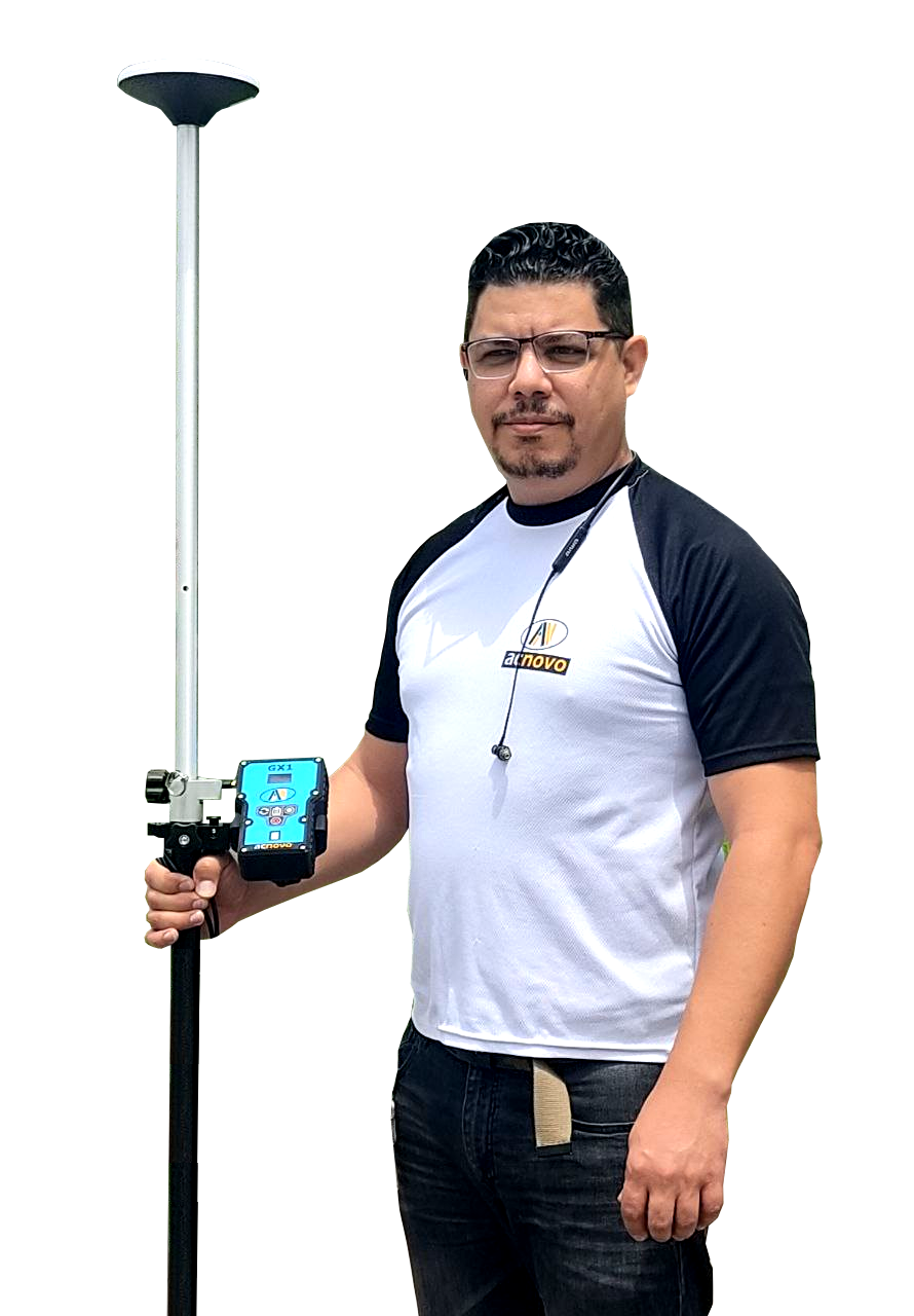
ACNOVO GX1
GNSS RTK
Low cost and Accurate RTK receiver
Easy to use centimeter-level measurements. Perfect for topography, cadastre and construction.
Advanced Features
The GX1 GNSS RTK is all you need to perform topography measurements at an affordable price.

15mm Accuracy | RTK mode.
3mm Accuracy | Static mode.

Powerful internal UHF radio with a range between 5 to 15 km of coverage.

Easy communication between Base and Rover via internet using Wi-Fi networks.

Compatible with NTRIP differential correction services.

10 Hz RTK update for continuous point measurement.

Compatible with Android devices, Smartphones, tablets, etc.

32 Gb of memory to collect data in static mode, RINEX converter.
ACNOVO GX1 GNSS RTK
Easy to Use
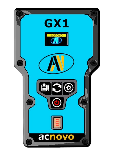
GX1 has a front panel with buttons for one-touch settings.
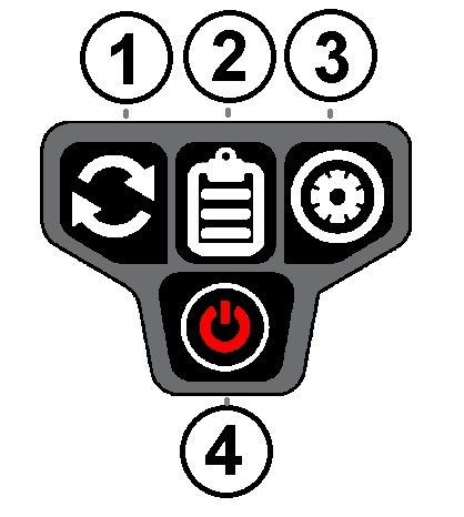
1- Mode Button
Switch between Base and Rover function
2- Record Button
Enable/disable static data recording
3- Settings Button
Set all device parameters by web interface.
4- Power Button
184 Channels
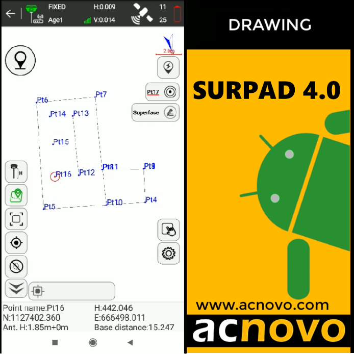
Data collect is done by SurPad 4, a field software for GPS/GNSS receivers specially created to run on Android devices.
- With advanced applications for precision surveying and stakeout.
- The CAD function allows you to draw graphics directly in the field with layer management.
- Import and export of TXT, DXF and SHP files.
High precision RTK GPS system
• Topographic and geodetic surveys, roads, volume calculation.
• Generation of data for contour lines, digital terrain models (MDT).
• Placement of control points for photogrammetry, control networks for cadastre, georeferenced maps, high precision polygons.
• Topographic Inspections
• Control and leveling polygonal networks
• Control of excavations
Advanced Features
With Xmapper, you have the tools necessary to record the data generated by a GNSS receiver during field measurement


